10 March 2026
First Comprehensive Preparedness Handbook PublishedAre All Coasts Tsunami-Safe?
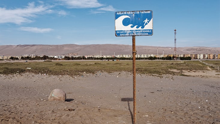
Photo: UHH/Jörn Behrens
Every year, up to 30 tsunamis strike populated areas and cause significant damage. Yet, coastlines around the world are not all good at preparing for tsunamis. While Japan and Indonesia—countries affected by major tsunami disasters—have become pioneers in the past 15 years, other regions are still in the early stages. This puts lives at risk in an emergency.
“In the event of an earthquake in the Mediterranean, for example, it takes only a maximum of 30 minutes for the wave to reach the coast,” says mathematician Jörn Behrens. “How good the affected region is prepared makes a huge difference. If time is used optimally, many losses can be avoided.”This is where the newly published handbook comes in. It provides practical help in reducing the risk to people, infrastructure, and economic damage. “Such a standard reference work has been missing until now,” says Behrens. “Controllers in politics and administration, as well as other experts, will find the information here that they need to prepare themselves.”
The book is freely available online and helps with the transfer of UNESCO’s criteria. Structured like a cookbook, it contains the basic “ingredients” for a risk assessment as well as 25 “recipes” that use examples to walk through the building blocks of prevention. Models, datasets, and tools are presented so that controllers can adapt them to local conditions.
One of the chapters, for example, can be used to determine whether a risk exists. How high could a wave rise in an emergency? Do many people live in the area? Every region worldwide is assessed accordingly. Those responsible for a specific area must look even more closely. For example, are the buildings near the coast stable? Another chapter shows how the vulnerability of homes and critical infrastructure can be determined. An earthquake in the ocean? Then every minute counts. The key factors are whether an early warning system is in place, how good the warnings are at reaching the public—or how to evacuate safely in an emergency. “We have presented the research findings in a user-friendly way for practice so that everyone can prepare as effectively as possible,” says Behrens. “If questions remain, we also offer individual consultations.”
The book is based on the latest methods in the field of tsunami risk research and relies exclusively on published research findings. It was developed as part of the international AGITHAR (Accelerating Global Science in Tsunami Hazard and Risk Analysis) project coordinated by Behrens and is being further transferred to practice by the “Global Tsunami Model Association,” which Jörn Behrens chairs and to which more than 40 researchers from all continents belong.